Contour Maps Studio
Turn your hikes and rides into beautiful wall art.
Upload a GPX file and generate a print-ready contour map of your adventure in seconds.
Free to use. Download instantly as a high-res PNG.
Used by hikers, runners, and cyclists worldwide
Perfect for hikers, runners, and cyclists
Print-ready at A1, A2, A3, A4
Minimalist, gallery-quality design
Automatic landmark detection
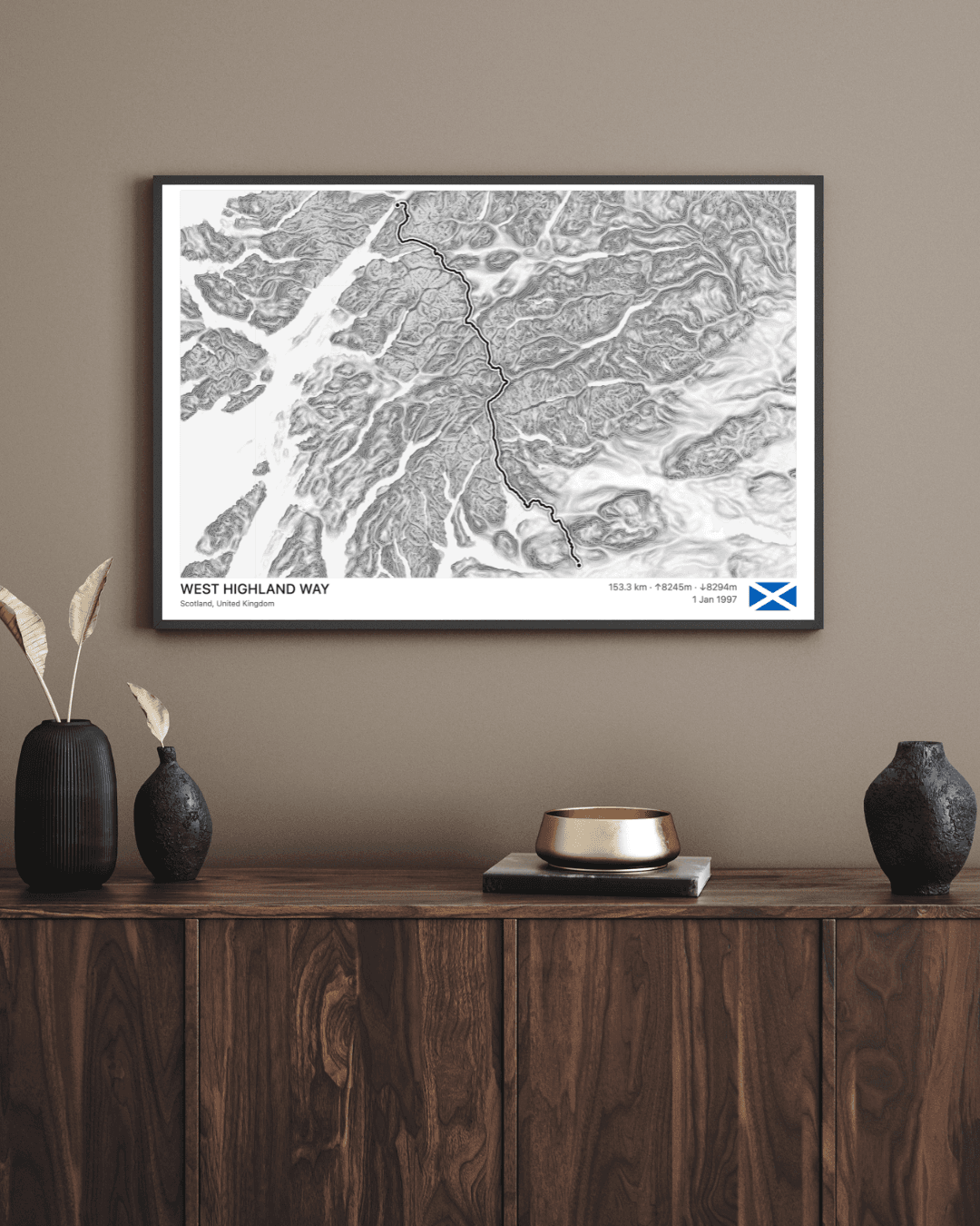
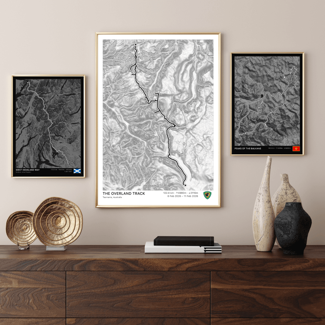
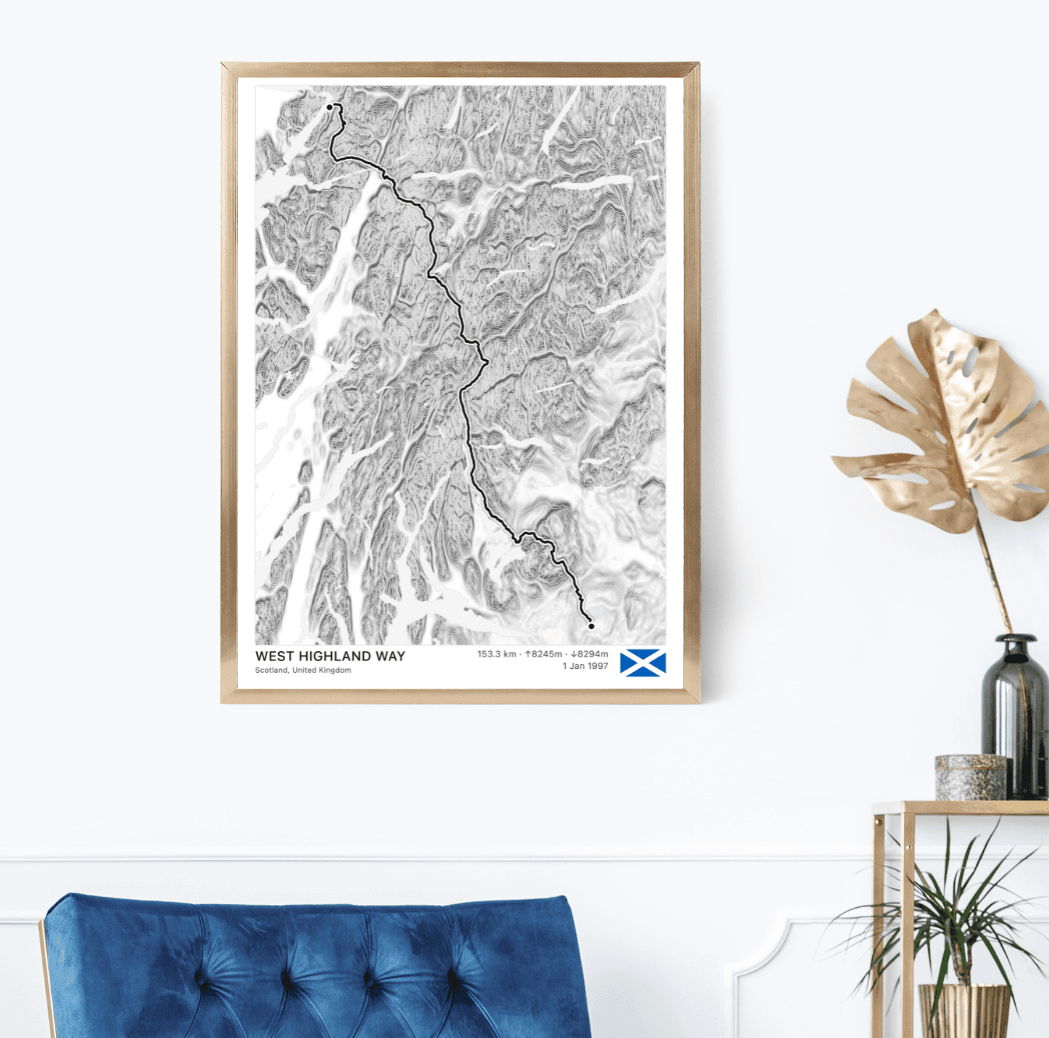
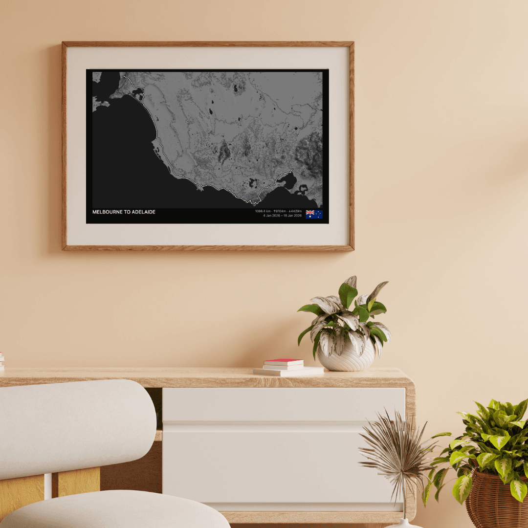
Iconic Routes
Explore legendary trails — click to preview and customize.
How it works
Step 1
Upload GPX
Drop in a file from Strava, Garmin, or Komoot
Step 2
Customize your map
Adjust style, landmarks, and layout
Step 3
Download or print
Export a high-res PNG ready for framing
Start with your GPX file
Export GPX from Strava, Garmin, Komoot, or any GPS device.
Drop your GPX activity here
or click to browse
Connect Strava
Coming Soon